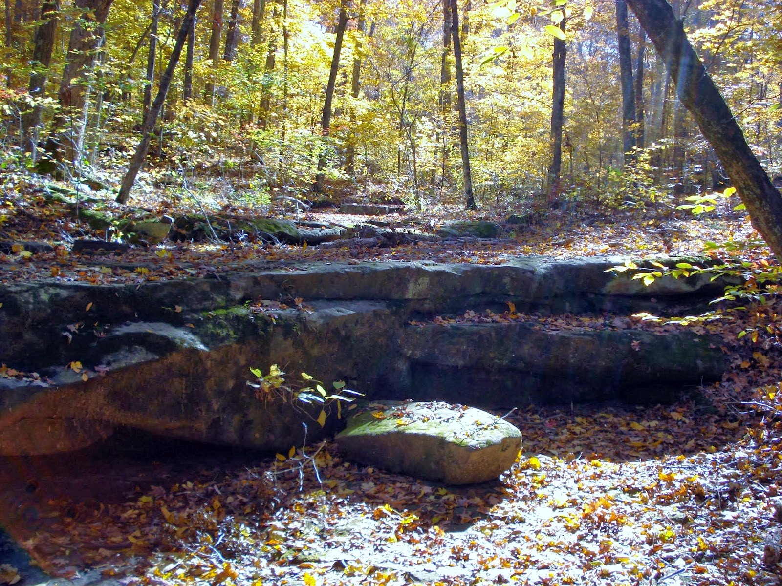
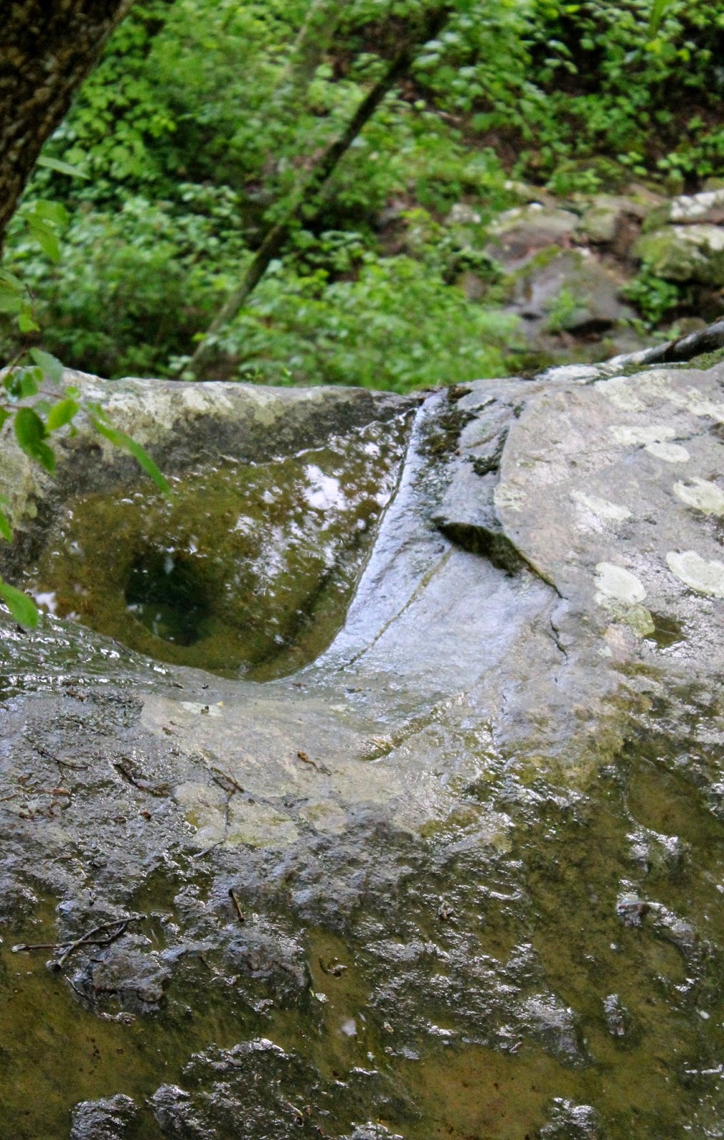
Out of all the places we have been in the last few years, I can honestly say this one is now my favorite. A quick, 2.2 mile hike not far from Marion, nestled in Crab Orchard Wildlife Refuge. We usually go to Shawnee Wilderness simply because of its size and sheer volume of trails, but sometimes smaller is better, and this one is truly a gem.
I don't know the history of this trail, when or why it was constructed, so the pictures are just going to have to speak for themselves. You will have to have a day pass for this one, so my directions are from the Crab Orchard Visitor Center. Passes are $2.00 for a day, or $15.00 from July to July. You can also buy a duck stamp that can be used as a seasonal pass.
Right off the parking area (which is small, park nicely!) is the first waterfall opening into a huge bowl valley. We went here specifically because it had rained a good deal the day before, but there was still no water on the fall. The trail starts out going over a foot bridge across the first fall.
This trail is listed as 'moderate' as far as difficulty, but to be honest it is still an easy trail. It is 2.2 miles if you take the loop. Just make sure to follow the signs, the trail is very well marked, but there are a few times where you can pick up other trails, like Wild Turkey trail, which does not loop back to the parking lot. This is a very pretty trail, while we went in fall which is probably one of the best times, I think it is diverse enough to be wonderful any time. They also use this trail during the spring for flower walks every Saturday in April, citing over 60 native species of blooming flowers.
Not far after the first waterfall you come across another, with a nice deep gorge below. On both falls, so long as there is no water, you can walk off the trail and right up to the edge. Be careful! There are no rails here.
I thought that the waterfalls would be the highlight of the trails, but it didn't even scratch the surface. The trail winds on a slight downhill grade, and the surrounding area gets hilly, which is really pretty. There's a lot of downed trees from past storms, but instead of looking bad it just gives you interesting shapes and things to look at, with lots of moss, fungus, and beaver chewings.
Then the trail get really interesting. You start going down a hill you didn't even really know you were on. You can see below a few footbridges, and at first I was like, 'how to we get down to those? I wanna see them!" But the trail gets twisty and winds all the way down the hill and back around. At one point it's almost comical, you think, why does it turn 180? But it really is a neat little walk.
There are three foot bridges in rapid succession at the bottom of the hill.
A little farther down you will find a trail marker, and there's a small offshoot that runs to a huge rock you can stand on right over Grassy Creek. The trail follows along the creek for almost the remainder of the hike, and all of a sudden you come across a long line of bluffs.
There are several small water runoffs that the trail crosses, and many little footbridges. Eventually you come across a neat hollow, with fallen trees and a turn in the bluffs and stone steps. It was here that I really fell in love with the place, and it gets even better.
It runs back along the creek, with it on one side and bluffs on the other. Amazing.
There's a ton of neat striations in the rock, you can see many layers, mini caves, different kinds of rock, and even layers of sediment from when the whole area was under water.
It just gets more interesting as you go on. You keep thinking you'r going to have to start walking uphill, but you never really do until the end. The trail opens up into the void created by the waterfall. It's impressive dry, but I'll bet it's spectacular with water flowing. The workers at the visitor center said to come during a wet winter, and if your lucky, the water will freeze going over the falls.
Stone steps lead up upwards (finally) to the top of the bowl and back to the beginning of the trail.
Go out and enjoy this trail! Trust me, you won't be disappointed. I've been on everything from a quarter to six mile trails, and this little two mile trek is one of the best I've seen in Southern Illinois.
Directions:
To the Crab Orchard Visitor Center (from I-57 S)
Take exit 54 B and turn Right onto Old 13.
Turn Left onto 148 at the big intersection at Energy.
A few miles down the center is on the left. You have to come here first to get you day pass unless you have a duck stamp or year pass.
Directions to Rocky Bluff Trail (from Visitor Center)
Turn Left out of the parking lot onto 148. Follow it five miles.
A Little Grassy general store will be on the right, turn Right there onto Little Grassy road.
A few miles down the road will curve/split, you have to take the Left to stay on Grassy.
At the first Crab Orchard sign (for Devil's Kitchen Lake) turn Left onto Tacoma lane.
Across the bridge is a small parking lot and a sign for Bluff Trail.
Enjoy!
Update:
We returned to Rocky Bluff on Mother's day 2014. It had been raining for weeks, and in fact rained almost all that day. We walked down tot he waterfall while thunder rumbled overhead. It finally flowed! We did not walk the trail, but I was ecstatic to see water on the cascade. Our walking sticks were even still there from last time! I image people using them and leaving them for others :)